
|
Lot: 198 ♡
|
|||||||||||
|
1631 Hand-Colored “America Noviter Delineata” First State Rare Edition of the Hondius' Map of America, Framed
|
|||||||||||
|
|||||||||||
 |
|
||||||||||
|
Lot 198:
1631 Hand-Colored “America Noviter Delineata” First State Rare Edition of the Hondius' Map of America, Framed
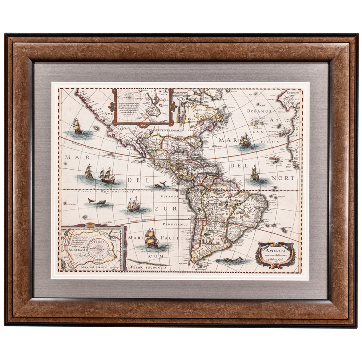
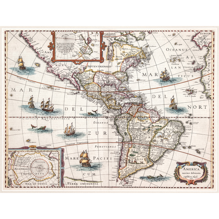
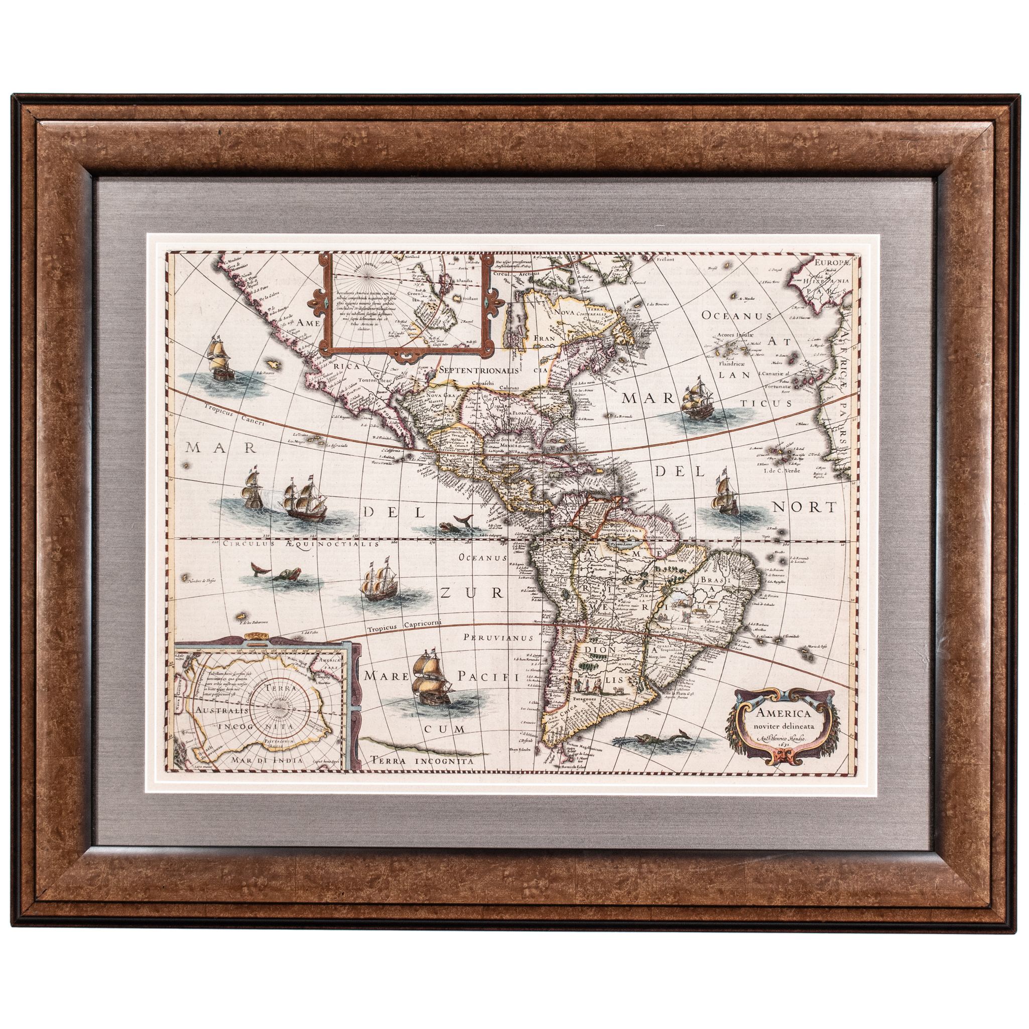
1631-Dated, Hand-Colored rare edition of the First State of Hondius' Map of America, following Hondius' removal of the decorative vignettes surrounding the map, shortly after his father's death in 1629, Framed, Extremely Fine. Included in this vibrant colorful Map is a marvelous peninsular California with the North West Coast of America stretched almost due westward toward Asia, with over 30 place names. This Map measuring 15” x 20”, professionally double-matted and framed to fully 24” x 29” and ready for display. It includes the East Coast of North America, packed full of place named including Chesdpiooc (Chesapeake), Sanawanook, Hatoraske (Hatteras); Charlefort, Cap de S. Roman, etc. The Great Lakes are not shown, nor does Long Island appear. An oversized South America with native Indians and animal vignettes are shown in the interior. The Rio Grande river flows into the Gulf of California. The seven cities of Cibola appear on a lake which is the apparent source of the Rio Grande. Includes Sailing Ships, Sea Monsters, and other highly decorative embellishments. This is a nice wide margined example in old color, from the rare 1636 English edition of Hondius' Atlas. A bit of soiling and offsetting at the centerfold, else a nice example, which includes a 2 page description of America printed on the verso (not examined out of its frame but the reverse print is there), which includes a marvelous description of Columbus' discovery of America, Magellan's circumnavigation, the origin of Native Americans in Asia, and a host of other interesting details on America. Henricus Hondius (1597-1651) was a Dutch engraver and mapmaker, a member of a prominent cartographic family. His father, Jodocus Hondius, was also an engraver and geographer. While working with his father, Henricus was instrumental in the expansion and republishing of Mercator’s atlas, first published in 1595 and republished by Hondius in 1606. Upon his father’s death in 1612, Henricus and his brother, Jodocus the Younger, took over the business. He set up his own shop in 1621, where he continued to release new editions of the Mercator atlas. Later, he partnered with his brother-in-law, Jan Janssonius, in continuing to expand and publish Mercator’s atlas, which would become known as the Mercator-Hondius-Janssonius atlas. Born and based in Amsterdam, he died there in 1651. [Age of Exploration, Colonial America, 17th Century America] [Cartography, Native American History, Spanish Exploration] [Maps, Engravings, European Imprints] |
|||||||||||
|
Auction Closing: Saturday, August 29th
at Noon Eastern Time • 9:00 AM Pacific Time |
|||||||||||