
|
Lot: 222 ♡
|
|||||||||||
|
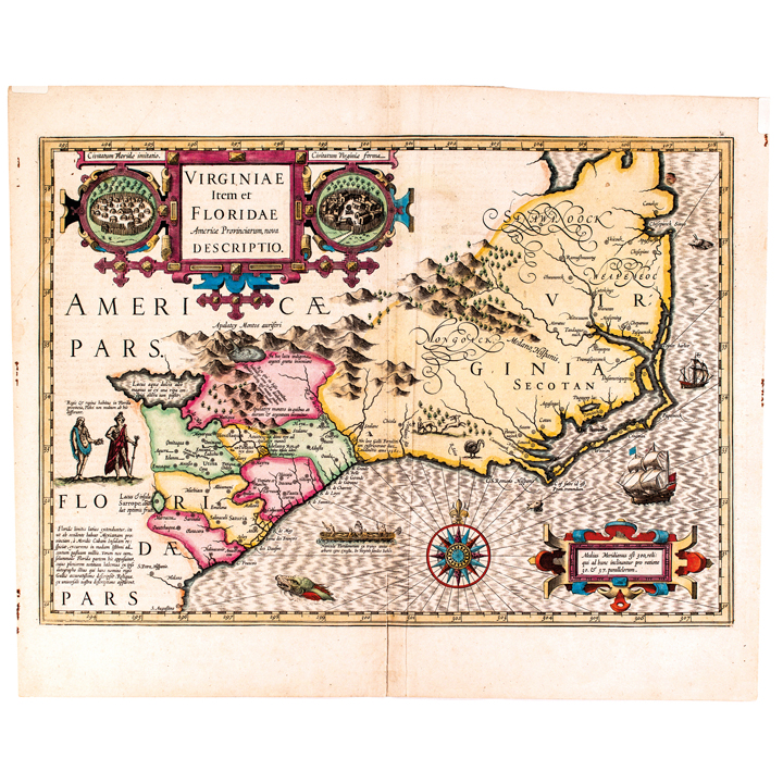
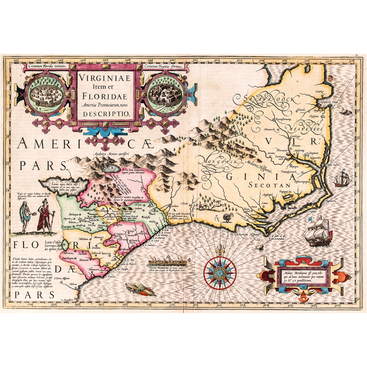
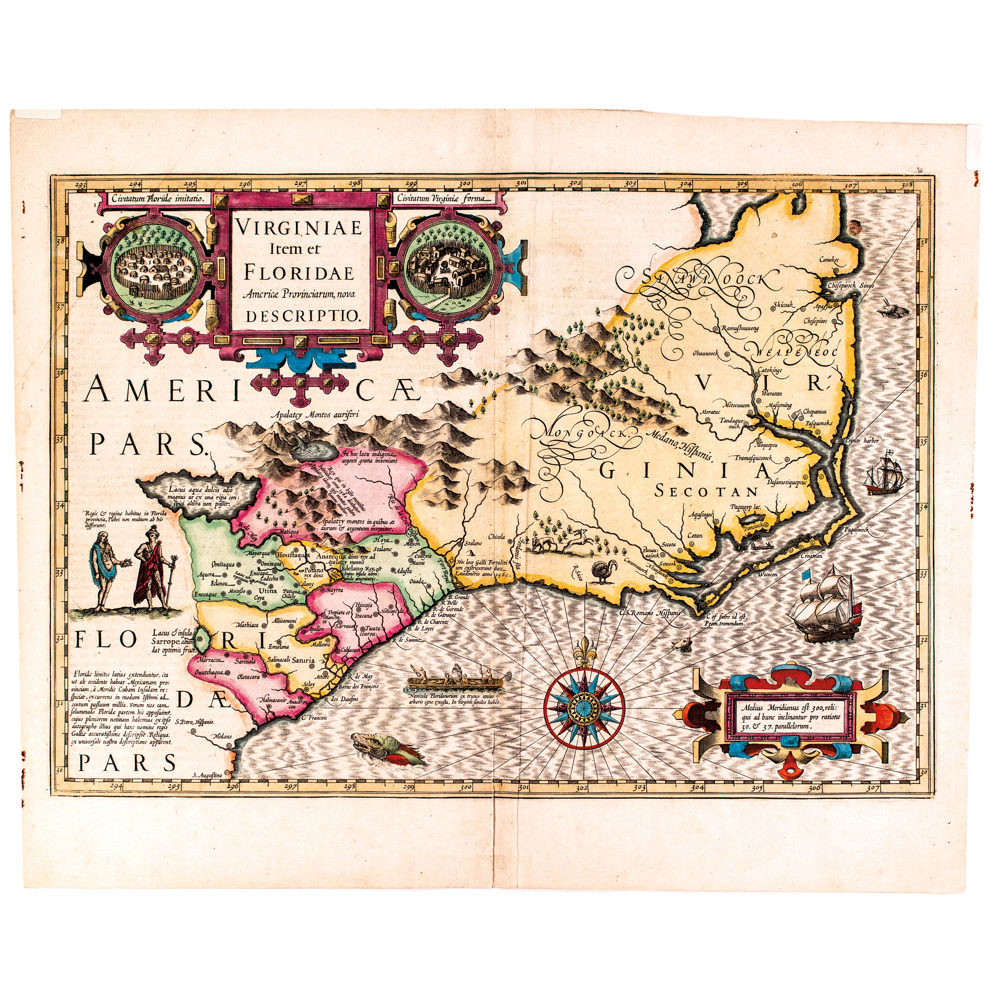
Circa 1625 Map, VIRGINIAE Item Et FORIDAE Americae Provinciarum, nova DESCRIPTIO. Virginie Et La Floride. by Henricus Hondius
|
|||||||||||
|
|||||||||||
 |
|
||||||||||
|
Lot 222:
Circa 1625 Map, VIRGINIAE Item Et FORIDAE Americae Provinciarum, nova DESCRIPTIO. Virginie Et La Floride. by Henricus Hondius
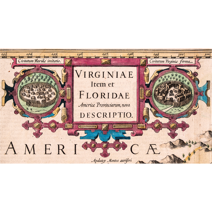
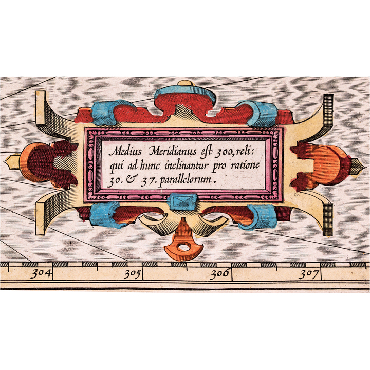
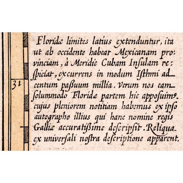
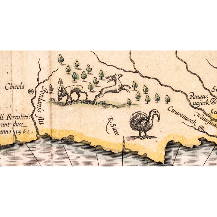
c. 1625 Early Colonial Era Hand-Colored Double-Page Map of America titled; VIRGINIAE Item Et FORIDAE Americae Provinciarum, nova DESCRIPTIO., Amsterdam printing by Henricus Hondius, Full Lrage Original Margins, 17” x 20.5”, Choice Very Fine. Considered one of the most important and sought-after Regional Maps of Colonial America titled, "Virginiae Item et Floridae Americae Provinciarum, nova Descriptio," first engraved by Jodocus Hondius and issued starting in 1606 in the Mercator-Hondius Atlas Sive Cosmographicae. First published in 1606 by the Mercator-Hondius firm, this is the most influential map of the southeastern part of North America to emerge in the 17th century and the First Map to depict Virginia and Florida together and notably, it predates the Jamestown Colony. It was the only regional American map included in Hondius's edition of the Mercator Atlas. A wild turkey and deer are illustrated, with a Floridian King and Queen, Sea Monsters, Sailing Ships, an Indian fishing canoe from De Bry, and paired Native American Indian Village Views flanking a central Title Cartouche. This current Map has printed text on its reverse side being page 571 with the French heading "Virginie Et La Floride" pointing to it being a French-language edition from roughly the mid-to-late 1620s, likely a Henricus Hondius issue of the atlas in which a coloured 1628 Amsterdam printing by Henricus Hondius is documented. It has its full original fully wide margins and vibrant attractive extensive Hand-Color. This double-page map is sharply printed having the standard centerfold attachment on the reverse between the printed descriptive pages, just some reverse side text thinned from prior display on the left side page. Overall, this map is in excellent condition, having the typical light vertical centerfold crease where the sheets are attached attesting to its originality. An excellent map for framing and display. Hondius created it by combining John White's map of Virginia (the area that later became North Carolina) with Jacques Le Moyne-De Bry's map of Florida (covering what became South Carolina, Georgia, and northern Florida), synthesizing the two most important surviving 16th-century depictions of the region. According to Cummings, the River May is Le Moyne's name for St. Johns River in Florida, on which Fort Caroline was built. By putting the lake and the direction the River May to the northwest of its mouth and changing the accompanying topographical features and Indian settlements. Hondius created geographical misconceptions of the region, which lasted for nearly 150 years. Also he moved the latitude of the mouth of the River May from 29PROBLEM: °30' N.L. (St. Johns is 30PROBLEM: °25') to 31PROBLEM: °20'. This is actually the latitude of the Altamaha in Georgia, the first river above Florida which has its source in the Appalachian range. These factors undoubtedly encouraged the continuance of erroneous beliefs in the minds of subsequent explorers and cartographers. St. Marys River, which lies between St. Johns and the Altamaha, rises in the Okefenokee Swamp. Some writers think that the River May is the St. Marys River and that the great lake is the Okefenokee Swamp. The Chief and Village imagery in the Cartouches trace directly to paintings by the Huguenot artist Jacques Le Moyne de Morgues, copied via an engraving by Theodor de Bry. Its decoration includes a Floridian King and Queen, Sea Monsters, Sailing Ships, an Indian fishing canoe from De Bry, and paired Native American Indian Village Views flanking the Title Cartouche. The map remained the standard for the region for nearly 70 years, until superseded by Ogilby-Moxon's 1672 "Description of Carolina." |
|||||||||||
|
Auction Closing: Saturday, November 14th
at Noon Eastern Time • 9:00 AM Pacific Time |
|||||||||||